The geography coordinator at Darwen St James is Mrs Thompson.

Geography Curriculum

Updated: 06/05/2021 95 KB
Updated: 16/11/2023 56 KB
Updated: 23/11/2023 153 KB
Updated: 16/11/2023 168 KB

Year 1

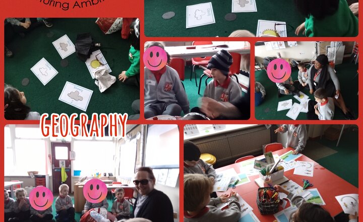
In Geography this half term we have been learning about seasonal changes and the weather.  We have set up a weather station in the playground and check the daily temperature, wind direction, and rain fall.  We have thought about the four seasons and identified typical signs of each season that we may see in nature.

Year 3

Year 3 have been studying London as a region in the United Kingdom this term, to contrast against our own region in rural Lancashire.  We have learned about the River Thames and the Royal Parks as having a role in the city and contrasted these against the features within the town of Darwen.  We have thought about what features would create a capital city, developed our map skills, investigated the population of the city of London over time and learned about the differences between weather and climate.

Year 6

Year 6 have learned about South America this half term.  We began by finding South America and Brazil on maps, globes and atlases.  We have considered how people live in Brazil, and different human and physical features of the country, along with the climate differences they experience compared to here in the UK.  We have studied the different layers of the rainforest, and role played a scenario where we crash landed in a rainforest, and had to decide on our priorities for survival, what we would use from the equipment we had with us, and what type of shelter we could build!

Reception

Reception Class have been reading Handa’s Surprise. The children have explored Kenya, where Handa was from. They have tasted different fruits from Handa’s basket and explored where they were grown.

The oranges were from Egypt, the pineapple was from Costa-Rica and the tangerines were from Morocco.

We have placed the different fruits on our knowledge board.

Year 2

In Year 2 we have been learning about Australia and how long it would take us to get there - 24 hours! We have discovered what life would be like as a tourist visiting Sydney and all the amazing sights it has to offer. We have learned about the famous landmark Ayers Rock and also discovered the beauty that is the Great Barrier Reef.

Year 3

Year 3 has been looking at Great Britain and our local area. The children had to find the countries within Great Britain and then their capital cities. We then focused on Lancashire and found other towns within it. We then moved onto looking at a contrasting area-East Anglia in the South East.

Year 4

Year 4 have been learning all about ‘A Region in Europe’. We have looked at lots of different types of maps of the continent of Europe, including religious maps, population maps, climate maps, and political maps. We know lots of countries that are in Europe and we can find and label many European countries too. We have looked at the oceans of the world and have looked at the tectonic plates. We have looked closely at the Mediterranean Sea and we know several facts about it. We have researched information about some countries from Europe and have found similarities and differences. We have looked closely at Italy and some of its cities and regions. We have looked at Sicily in lots of detail and we have written a holiday brochure all about it.

Year 5

Year 5 have been learning all about World Trade. We begun by exploring where the clothes we were come from, and hypothesising why certain countries may manufacture clothing. We have used Google Earth, Google Maps and Digimaps to look at the manufacturing process of an Apple Iphone- discussing why three different countries may be involved in the process. Finally, we have been looking at food miles and carbon footprints, through researching some different lunch box items. Our topic also featured in DT, whereby we used our Fairtrade knowledge to look at ingredients for our biscuits!

Year 1

In Year 1 we have been learning about the U.K.  We can locate the U.K on a map of the world and name the four countries that make up the U.K.  We also learned the capital cities of the four countries and found out more about London and drew some well known landmarks.  Later we went on a field trip to Darwen town centre to look at some local landmarks.

Year 2

Our unit this half term has been Extreme Weather. We began by thinking of weather as seasonal before looking at the extreme climate and environment of the polar regions. We looked in more detail at the Arctic and Antarctic and enjoyed learning about the types of animals that live there. We then looked at the environment and climate of equatorial areas, in particular the Amazon Rainforest.

Year 3

In Year 3 the children have been looking at rivers. The children looked at a wide range of rivers vocabulary that they then transferred to the journey of a river. We went into the hall and the children, working in pairs, had to draw the journey of a river and then label it. They worked really hard. In another lesson the children had to use printed digi maps of the journey of river Darwen to the River Ribble. It was quite tricky but they were successful in the end.

Year 4

In year 4 we loved learning about the topic called ‘Polar Regions’. We know what creates a place locally and globally. We found the coldest and warmest parts of the school by measuring the temperatures using thermometers. We are able to use an atlas to locate the coldest places on earth. We have learnt why Antarctica and Antarctic are so cold and why the equator is so warm. We have looked at lots of different forms of ice including pancake ice, permanent ice, ice shelf, glacier, icebergs. We have found out which animals live there, all from the comfort of our lovely warm classroom!

Year 5

In year 5 the children have been conducting an investigation unit into their local area. We have explored the local area of Darwen, including looking at different landmarks within the town. The children then went on a local area walk whereby the examined the area for its quality and upkeep. Throughout the unit, the children have logged their findings on digimaps, which is an online platform. They found this tricky at first but have persevered and can now use digimaps very well!

Year 6

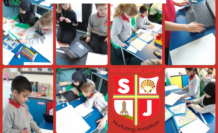
Year 6 have undertaken a 2 week fieldwork study about travelling to school, and the risks and safety features of our local environment.  They learnt how to use OS maps, using 4- and 6- figure references, and also used Digimaps to create routes to home and primary school, school to a local park, and also mapped out their potential journeys to high school next year.  We also considered different travel arrangements to and from school, and alternative choices to car journeys.  These pictures show risk and safety features of our environment identified by the children.

The subject lead for Geography at Darwen St James is Mrs Thompson.