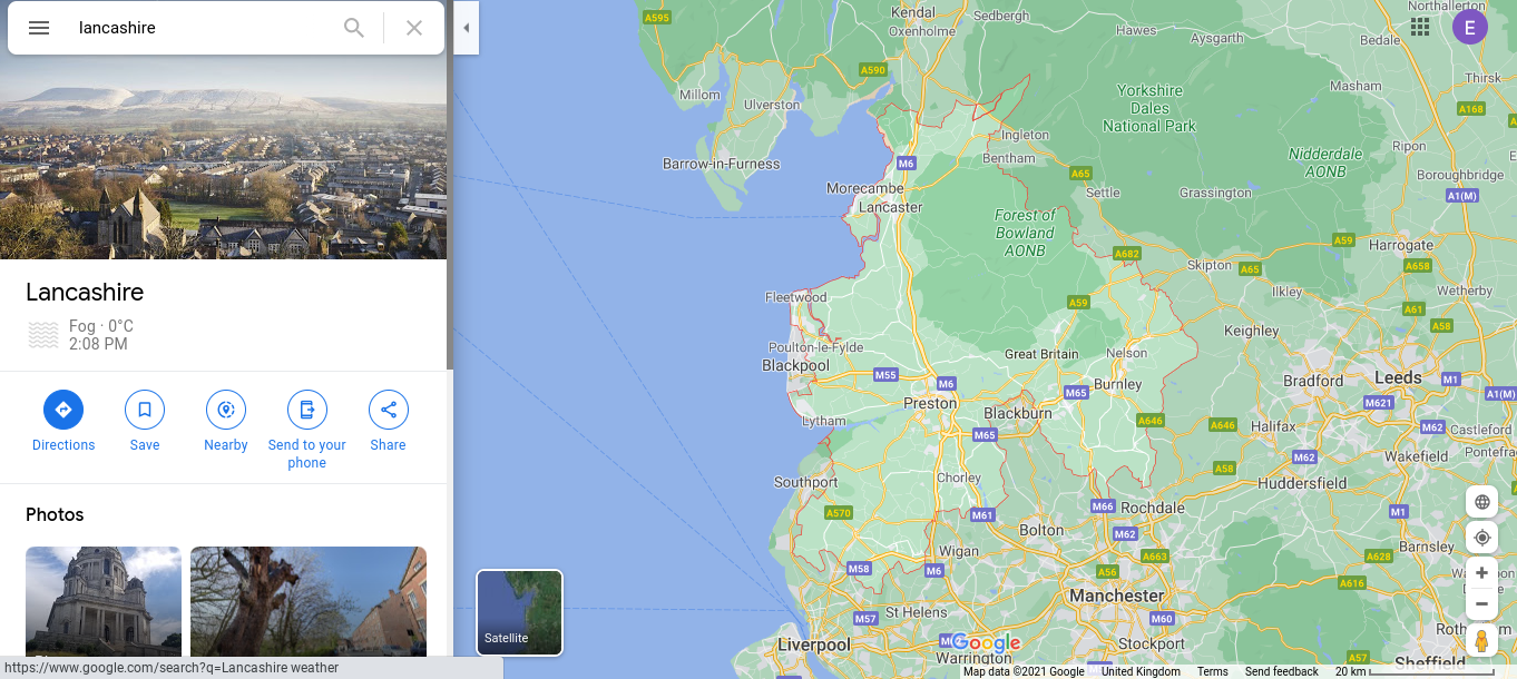
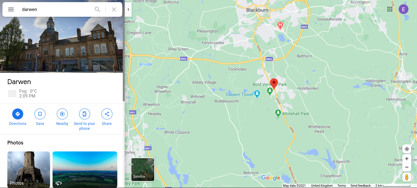
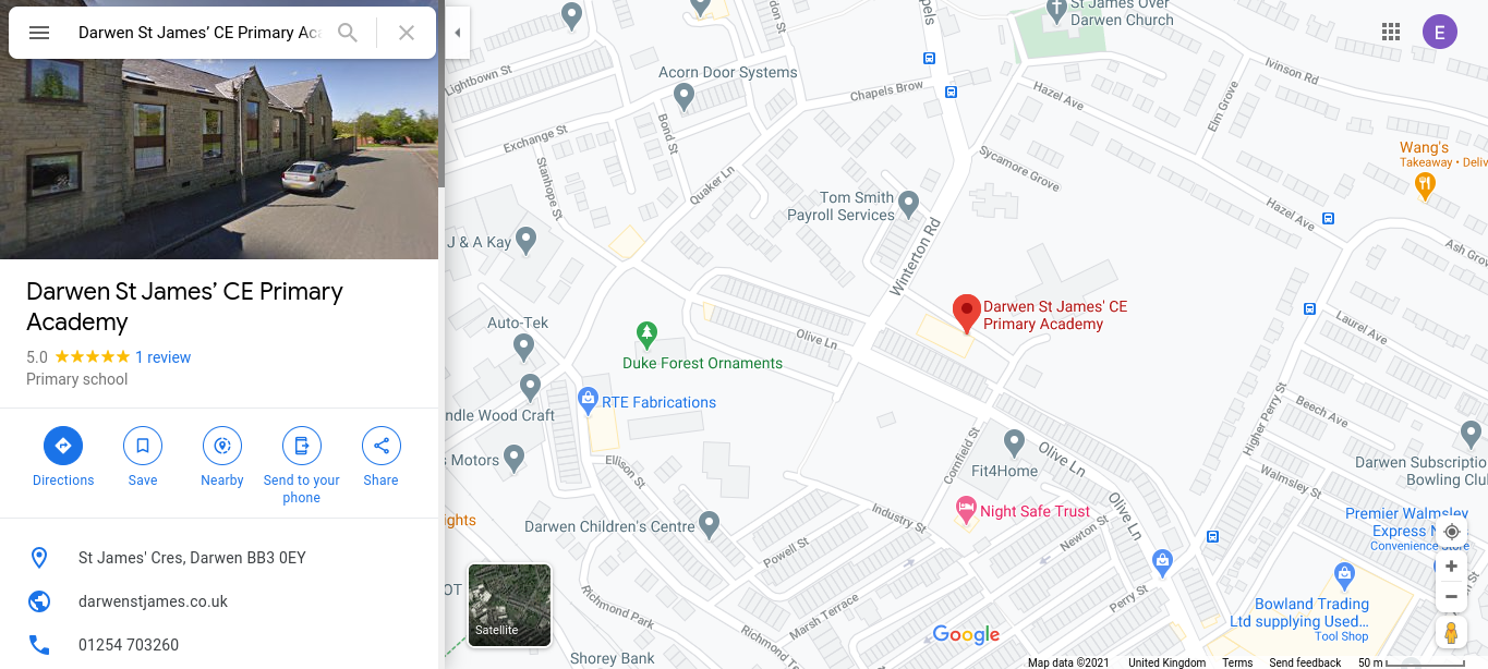
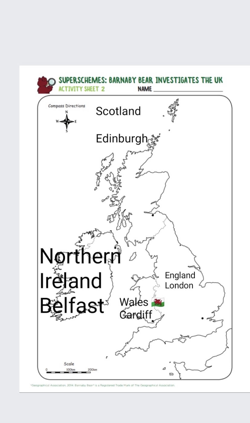
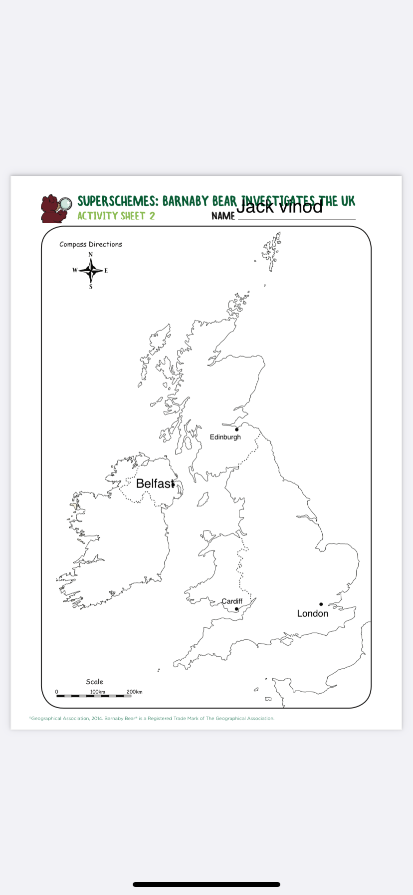
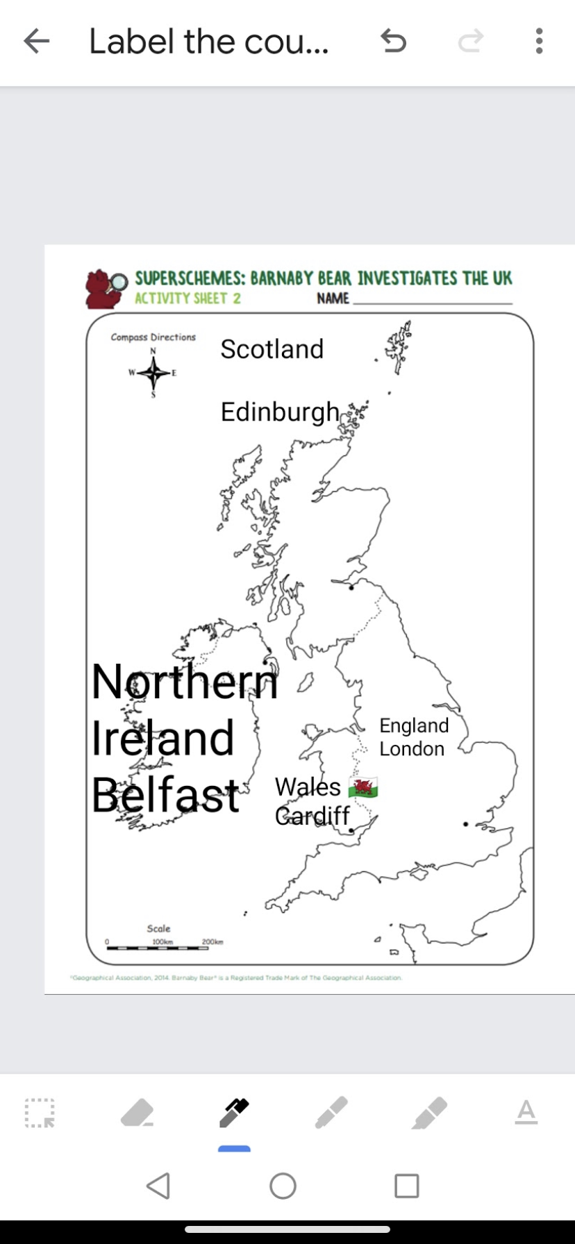
In Geography we have been looking at a map of the World. We found the United Kingdom and discussed different countries that are important to us. We talked about the size of countries and found small and large ones on the map. We then looked at the UK in more detail and the children both at home and in school labelled the 4 countries that make up the United Kingdom and their capital cities. We looked on Google maps at Lancashire, then specifically at Darwen. We even found our school and some of the streets we live on.
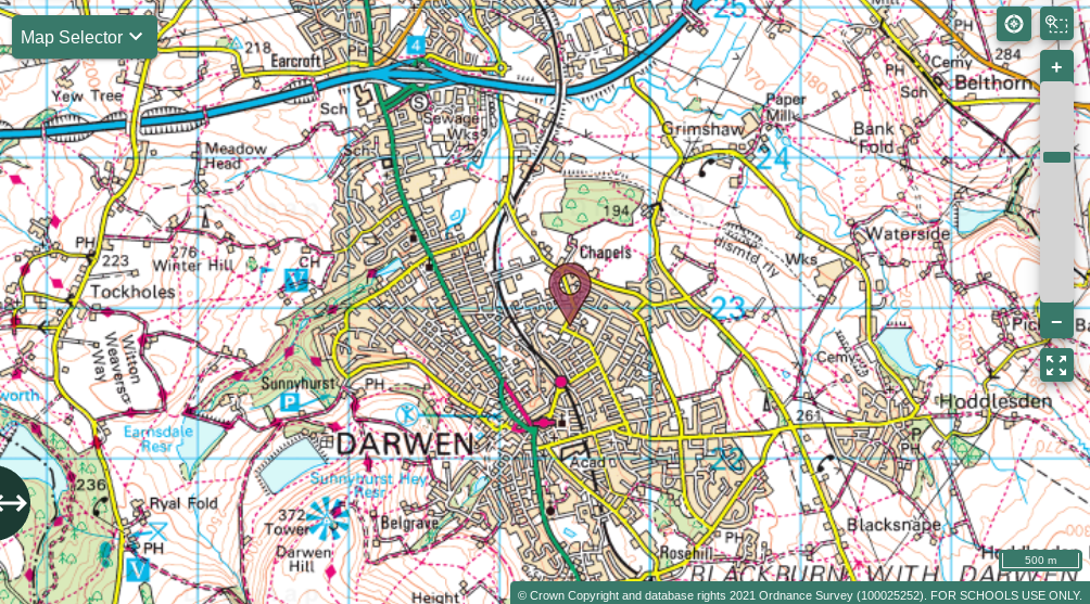
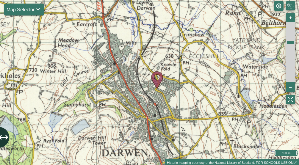
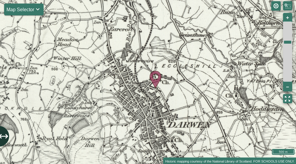
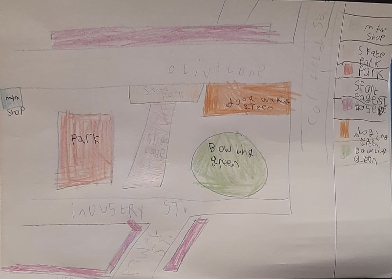
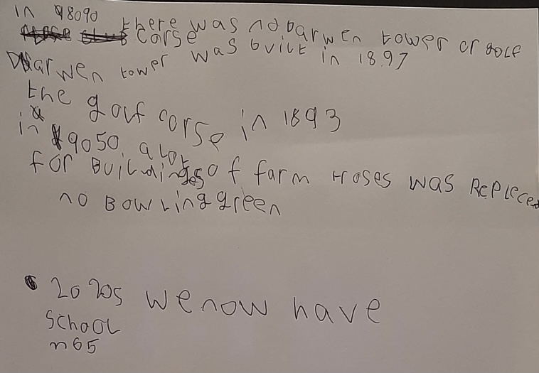
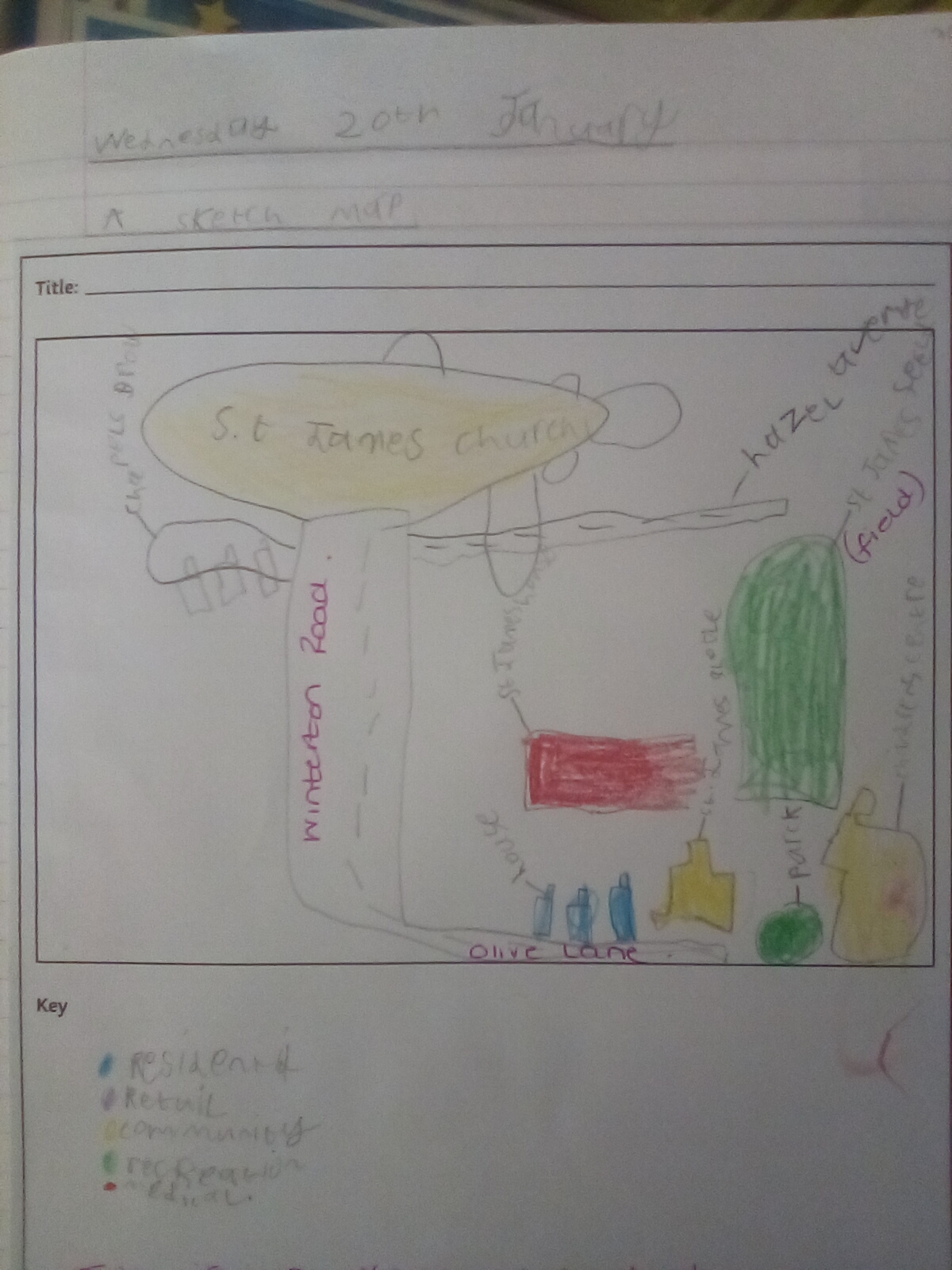
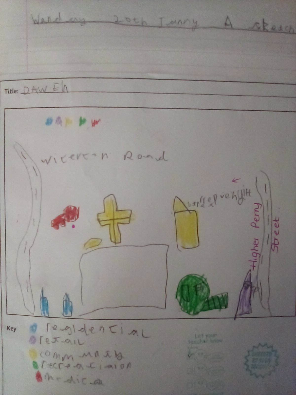
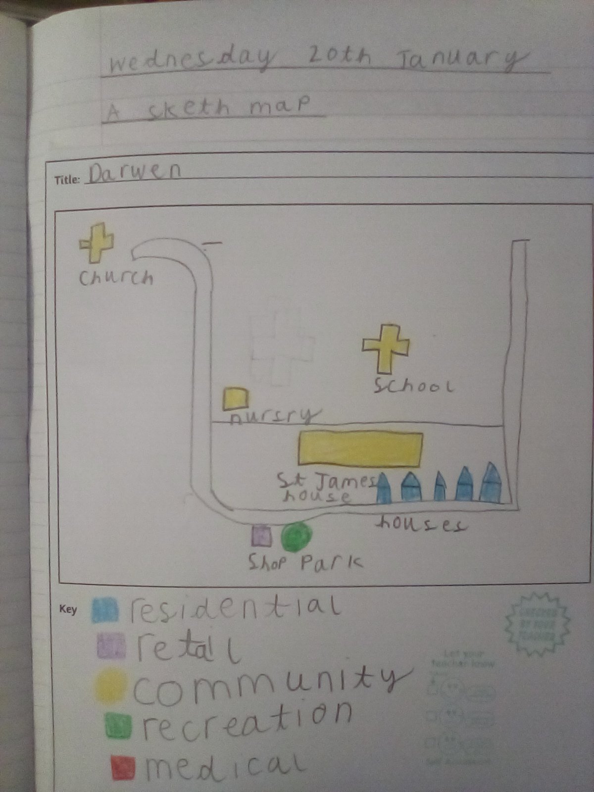
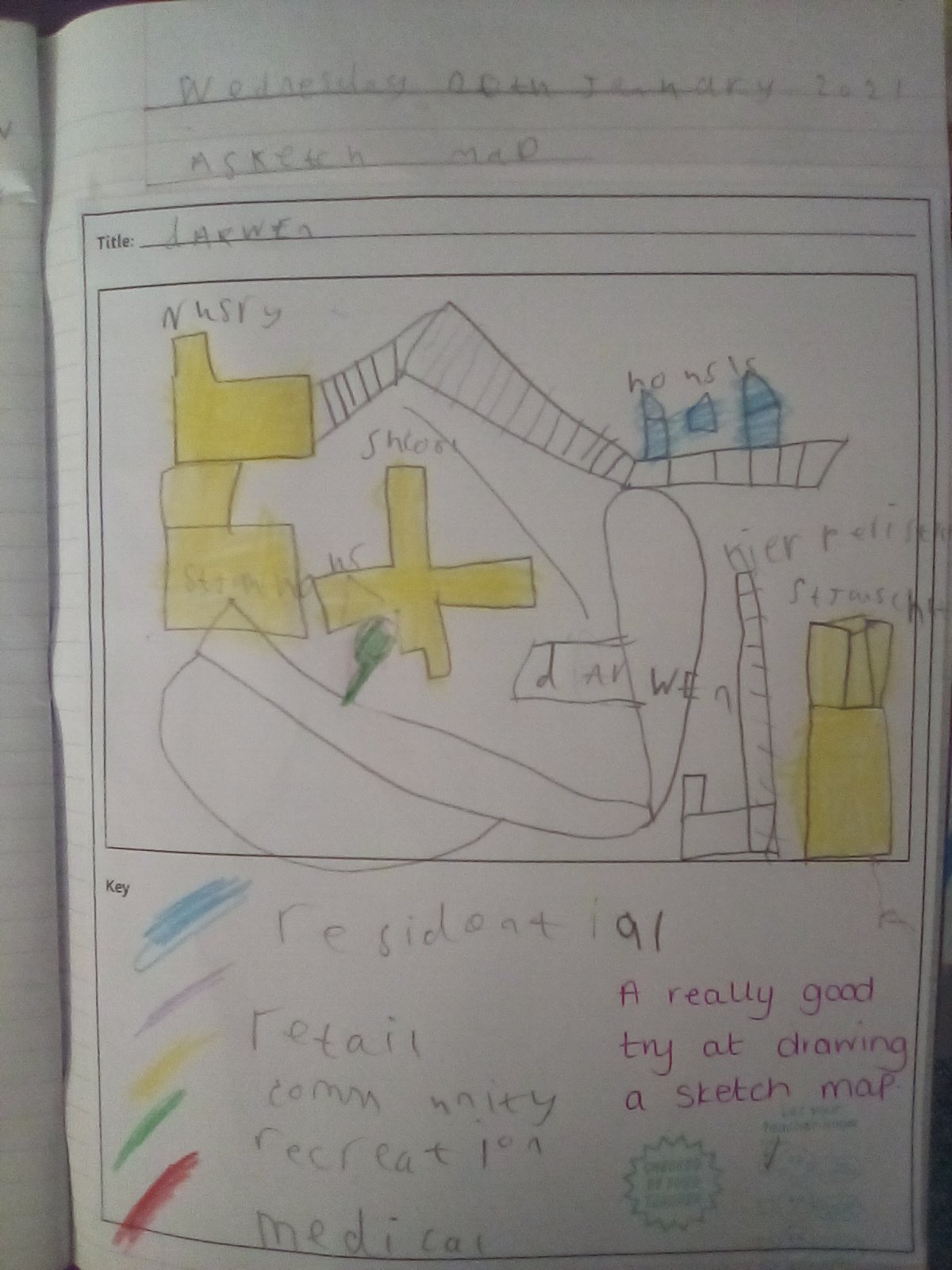
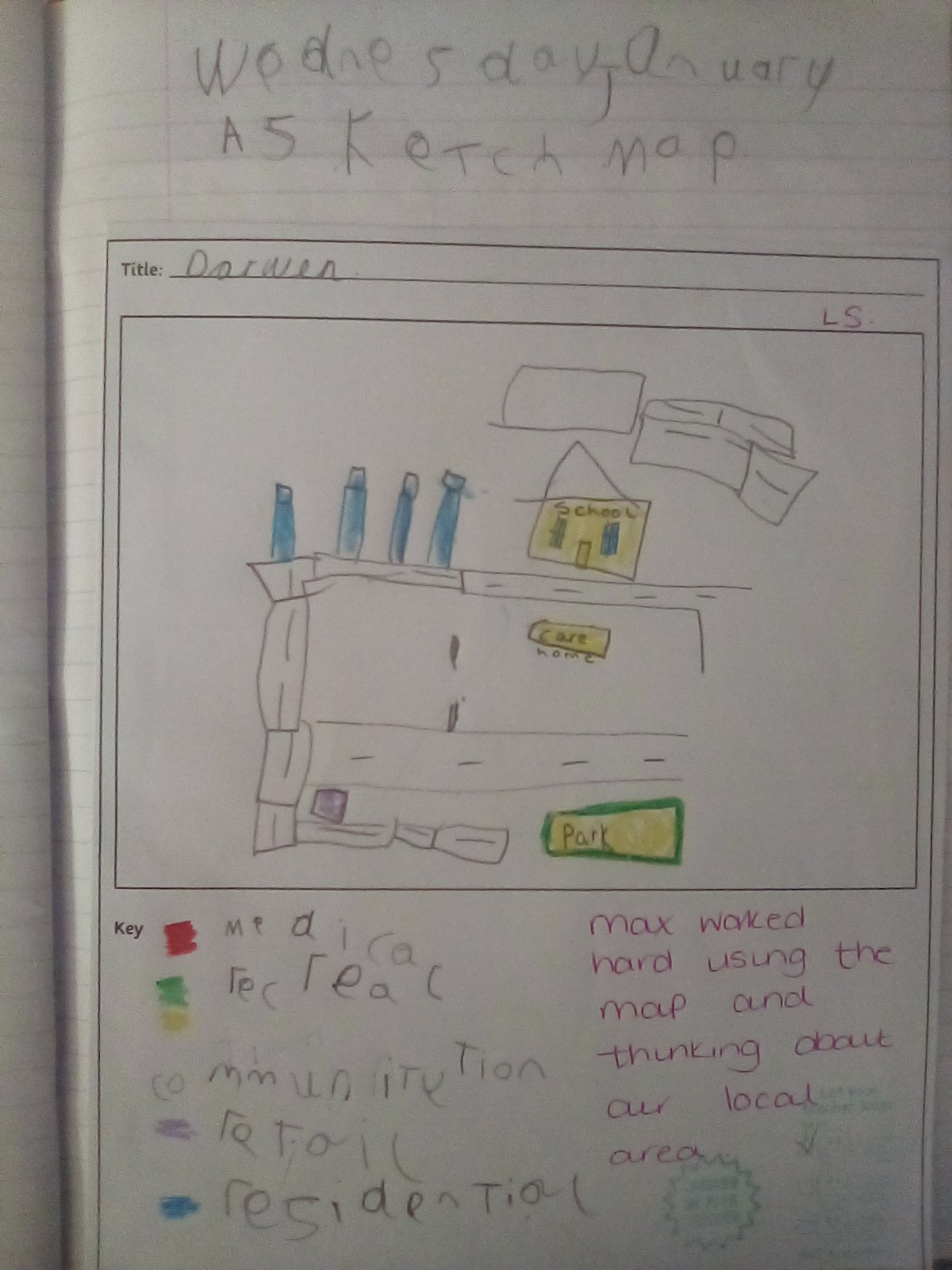
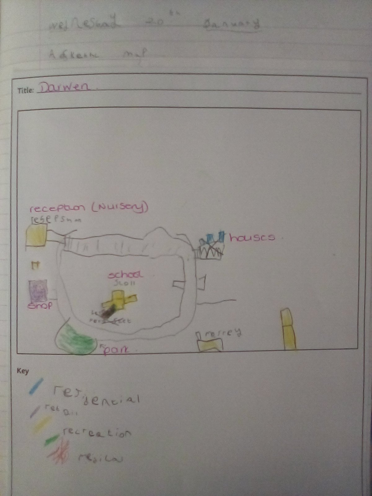
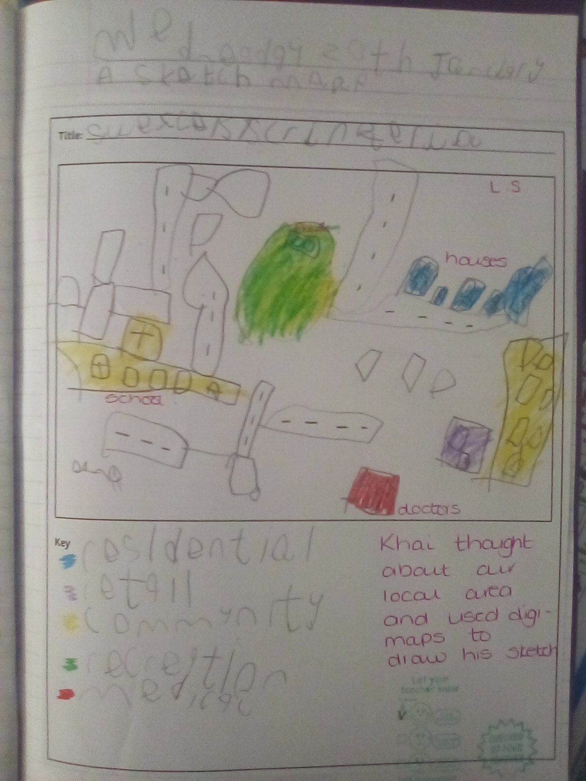
This week we each signed on to digimaps and explored our local area over time. We looked at a map of Darwen in the 1890’s and 1950’s and compared it to a map of today. The children thought about the similarities and differences between all three maps and noticed that St James Church was on all of them; they decided it must have been built before 1890, however, St James Academy is only on the most recent map so must have been built after 1950. The main thing they noticed was the number of houses that have been built over the years around Darwen, some children even managed to find their house on the map. We then looked at a sketch map and made a sketch map of our local area.
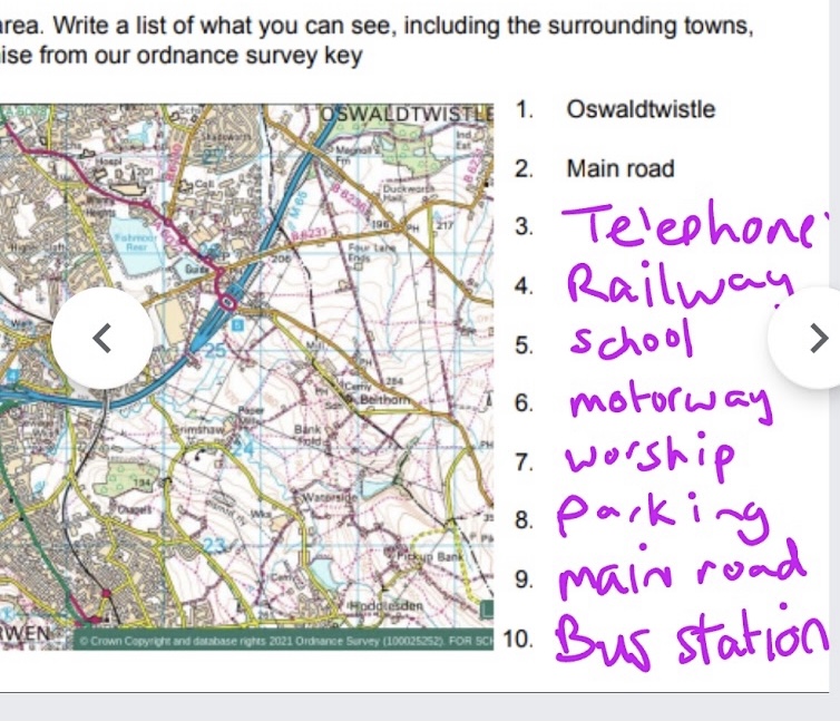
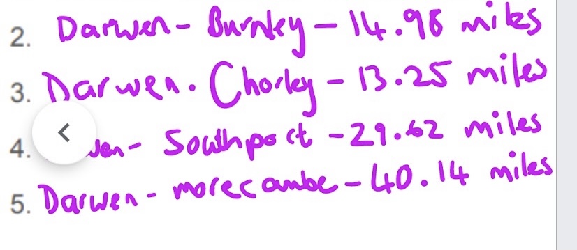
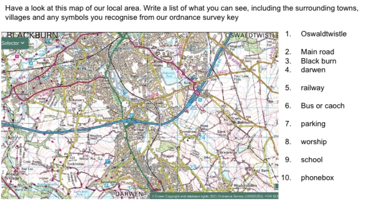
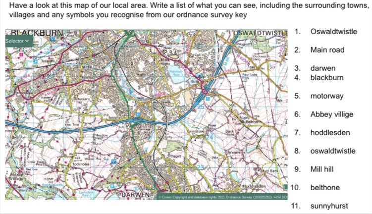
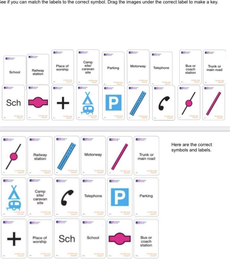
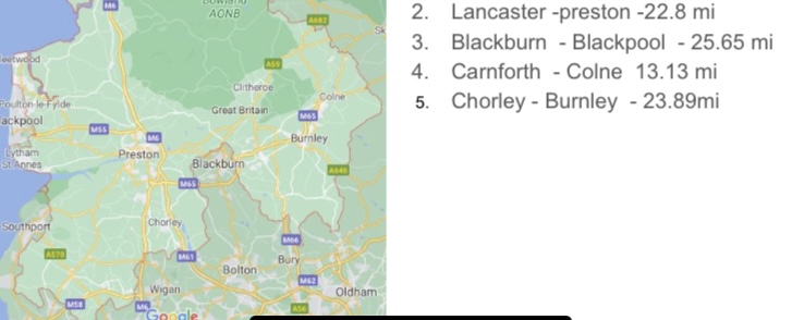
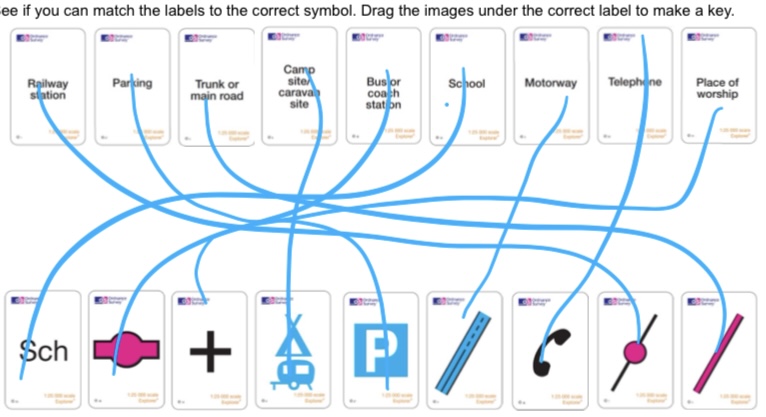
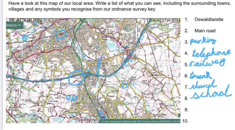
Following this we introduced ordnance survey symbols and thought about what they might mean. We made our own predictions then checked them alongside the correct symbols. We then looked for these on a map before using the internet to calculate the distance between 2 towns in Lancashire.
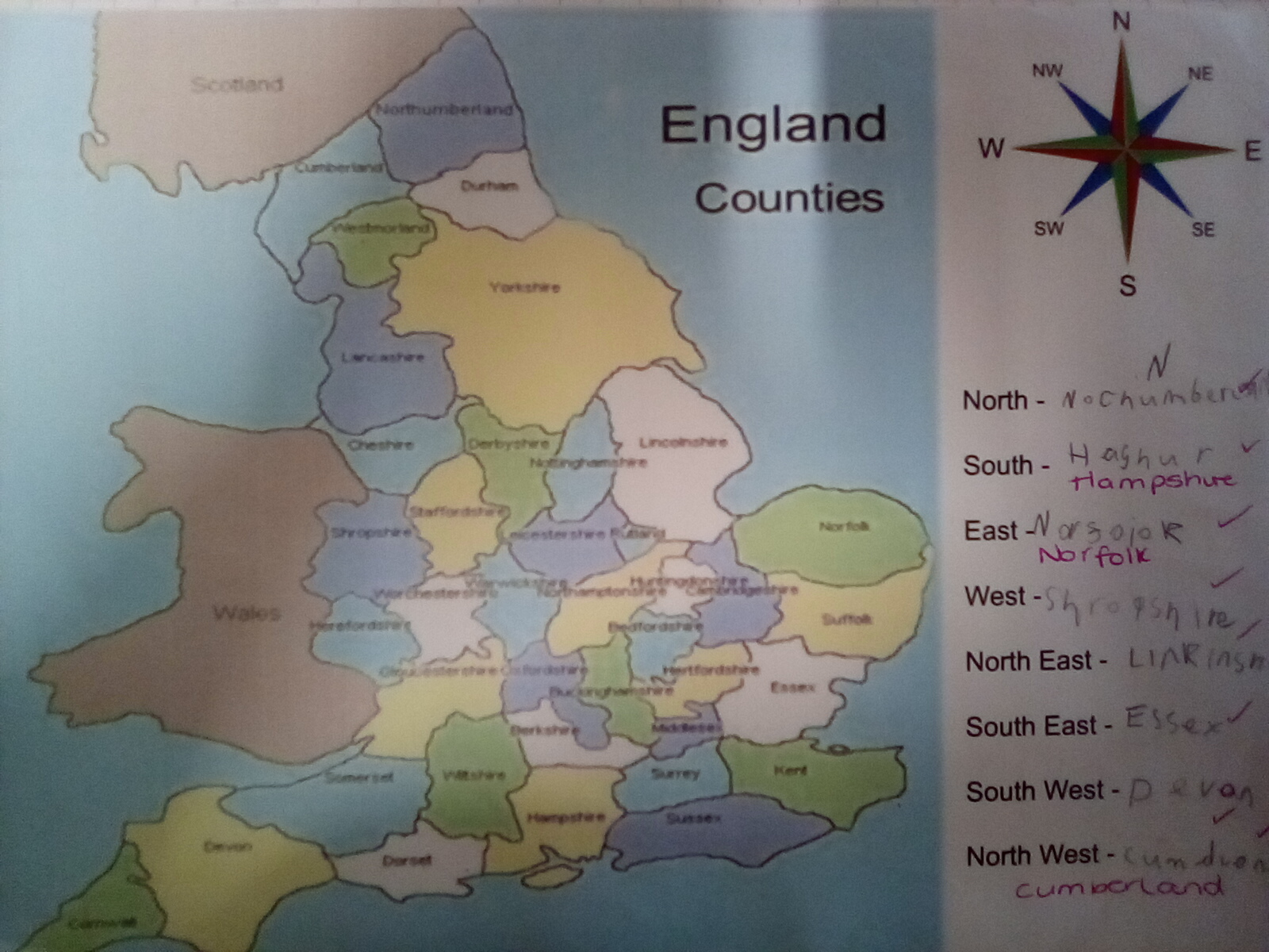
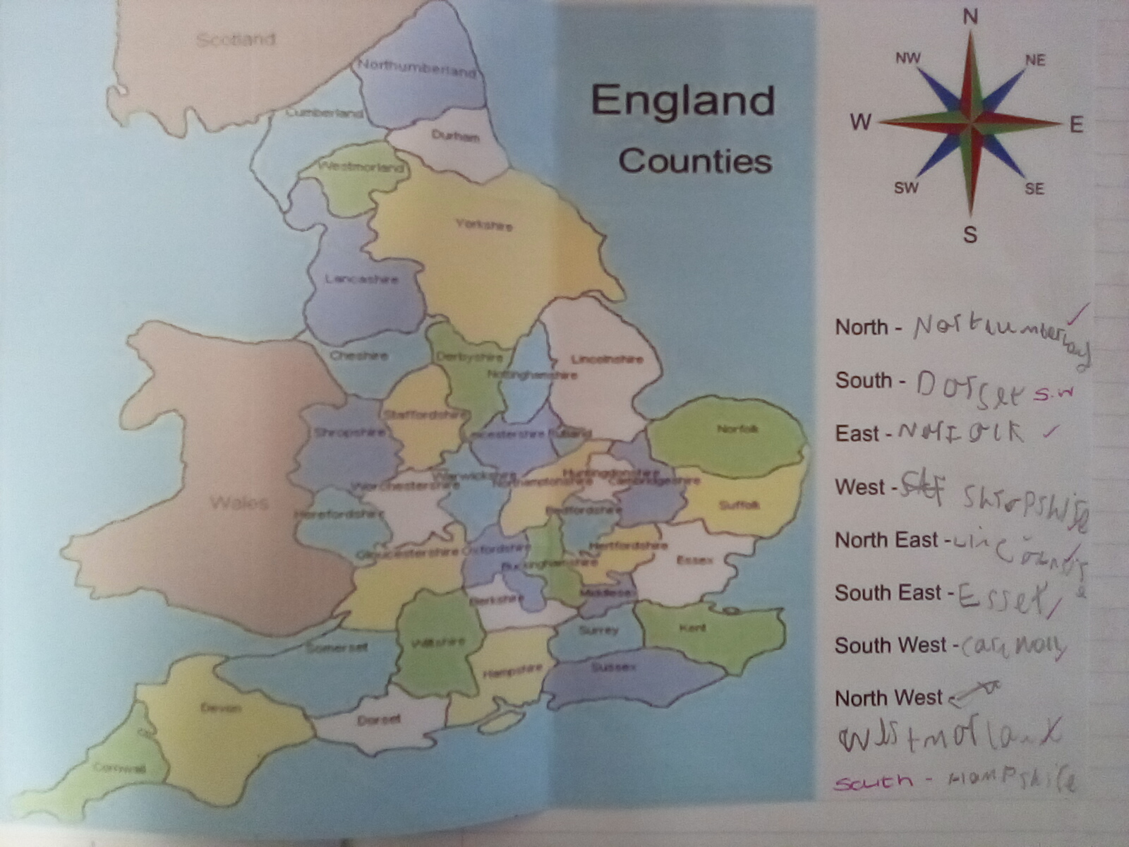
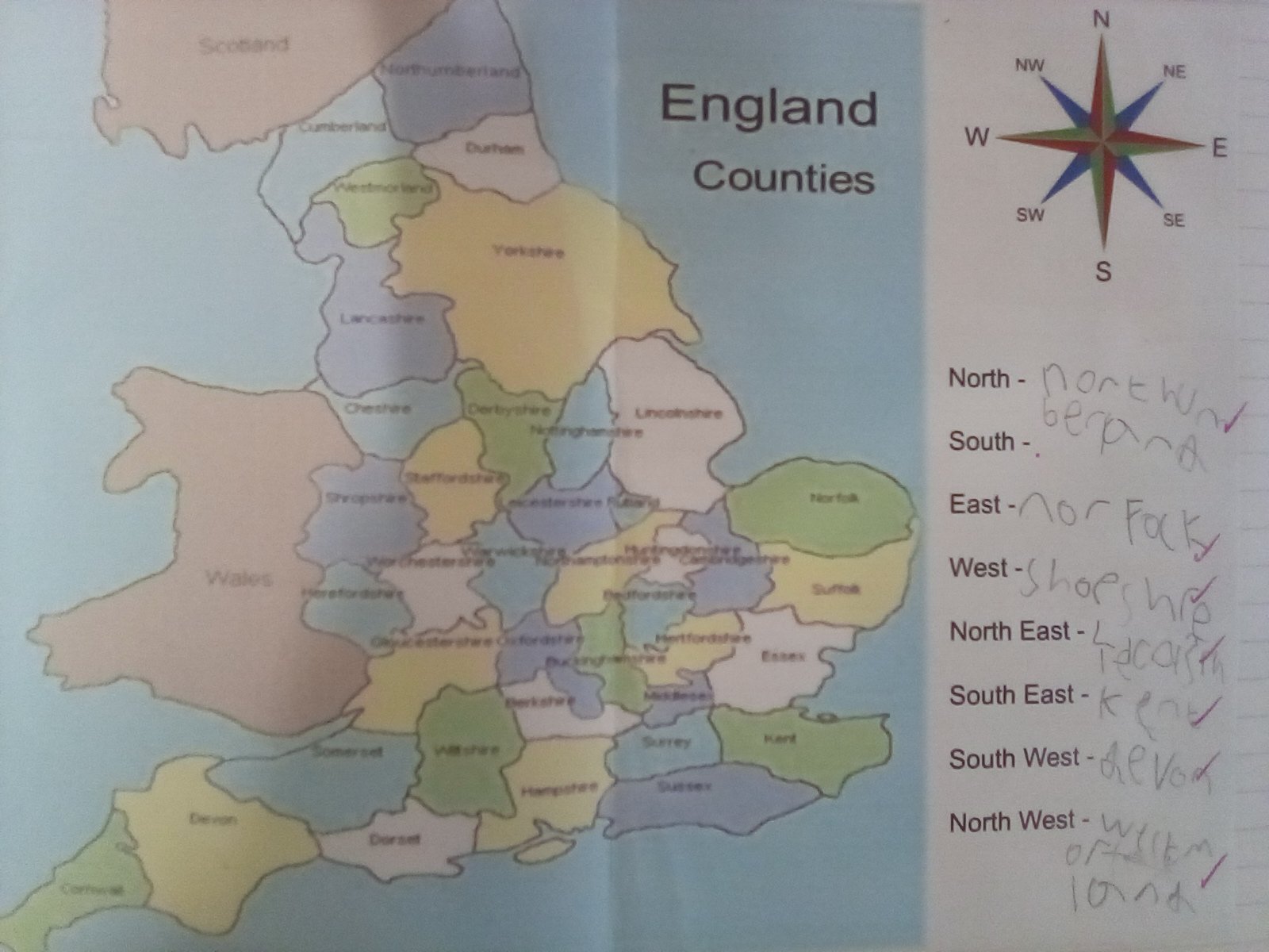
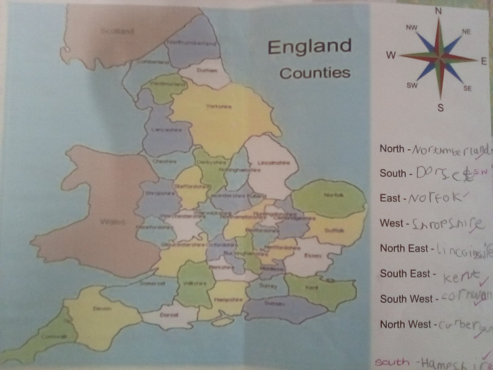
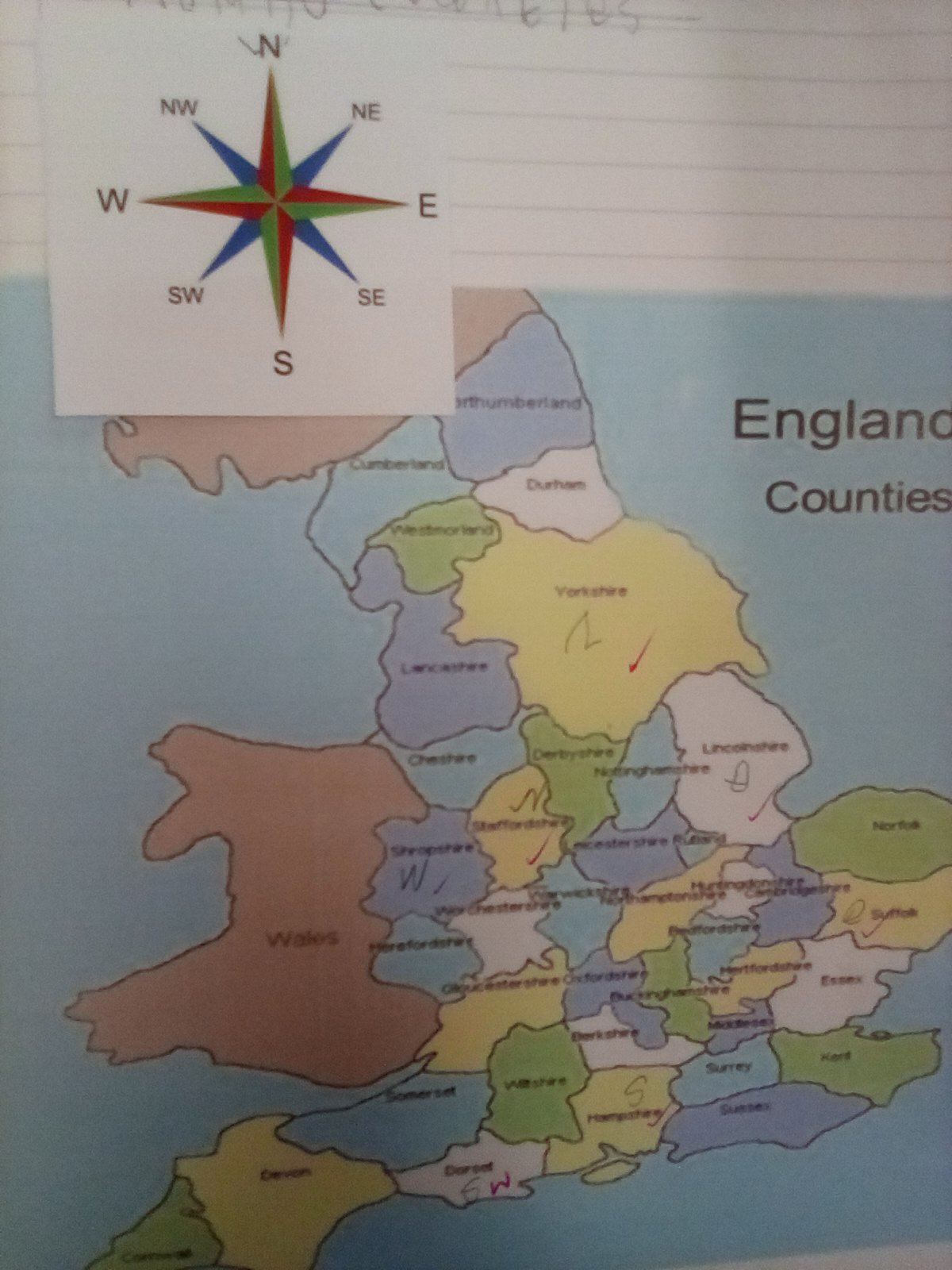
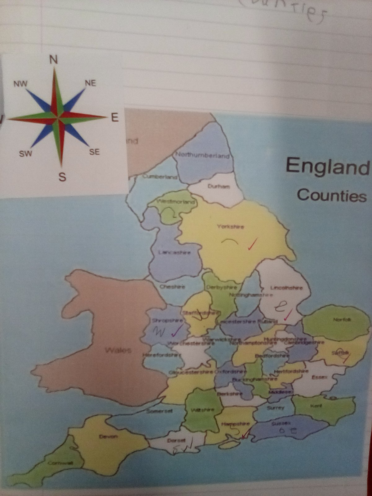
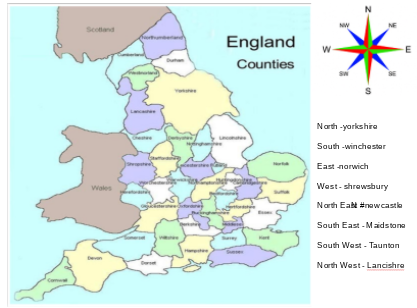
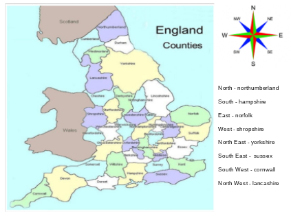
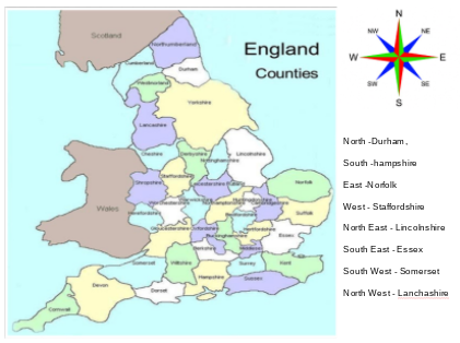
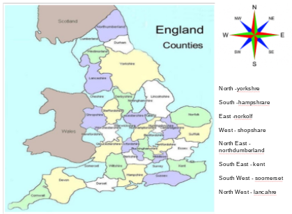
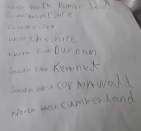
We spent some time today learning about compass points and naming different regions in the North, South, East and West of England, we also looked at the North West, South West, North East and South East too.
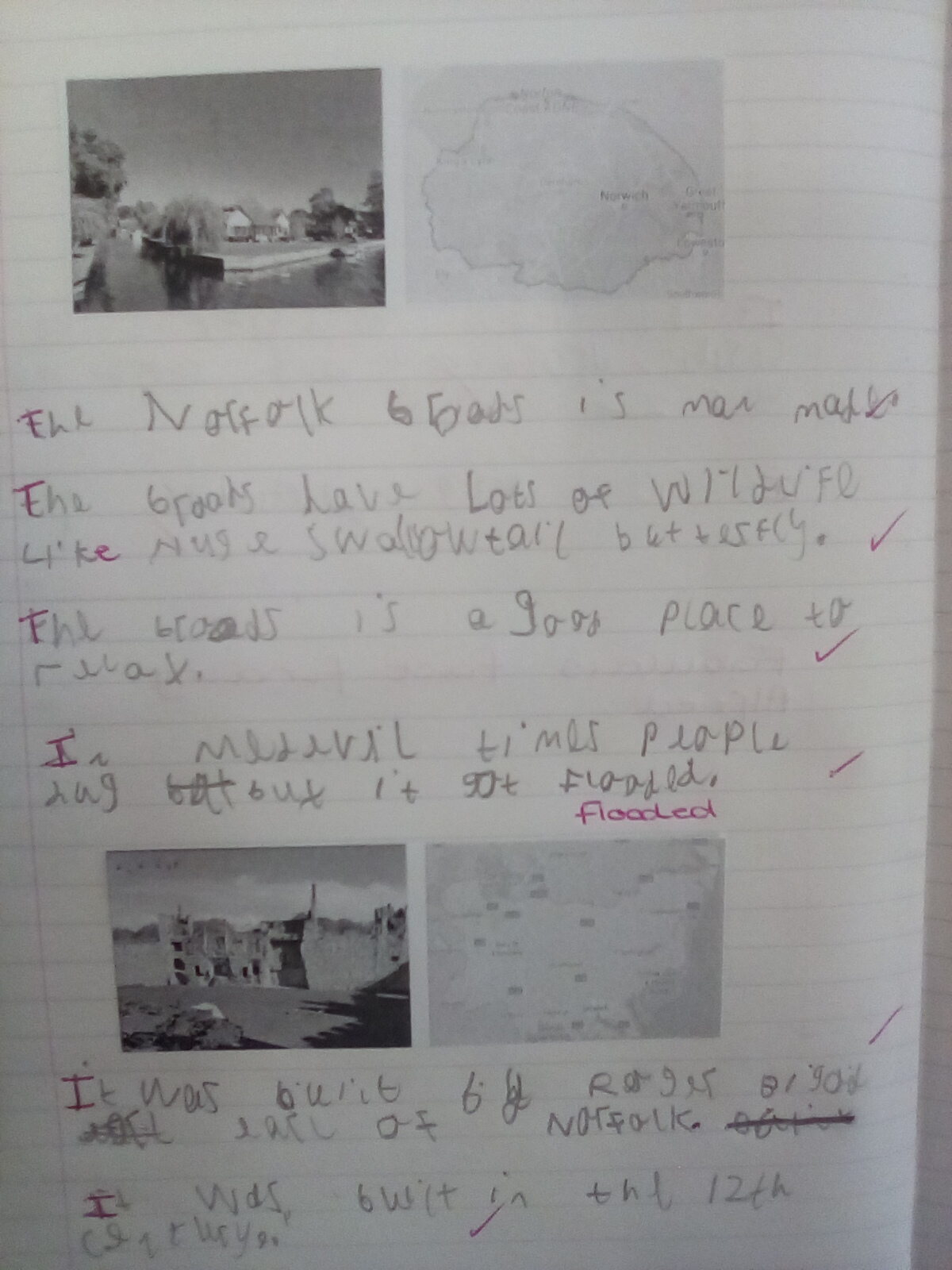
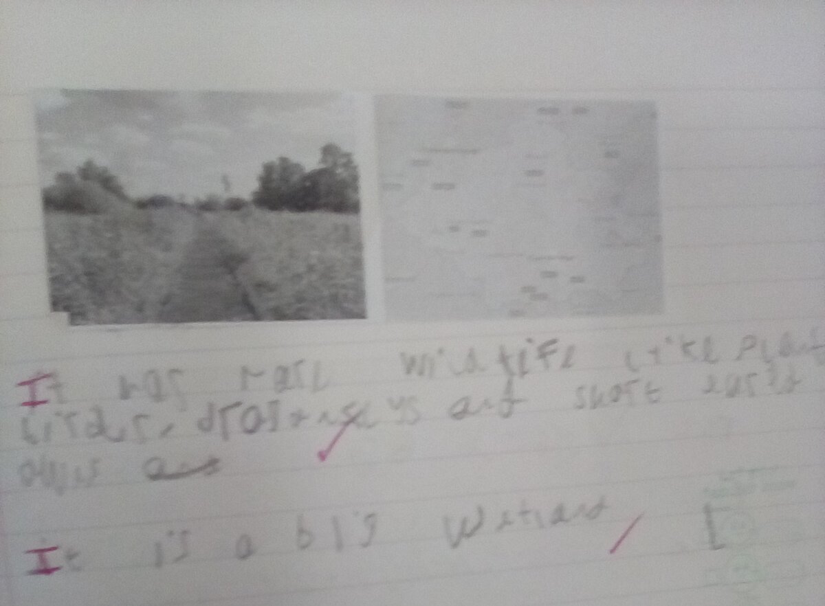
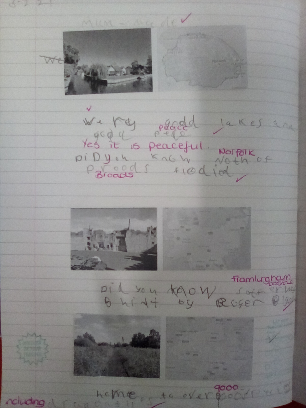
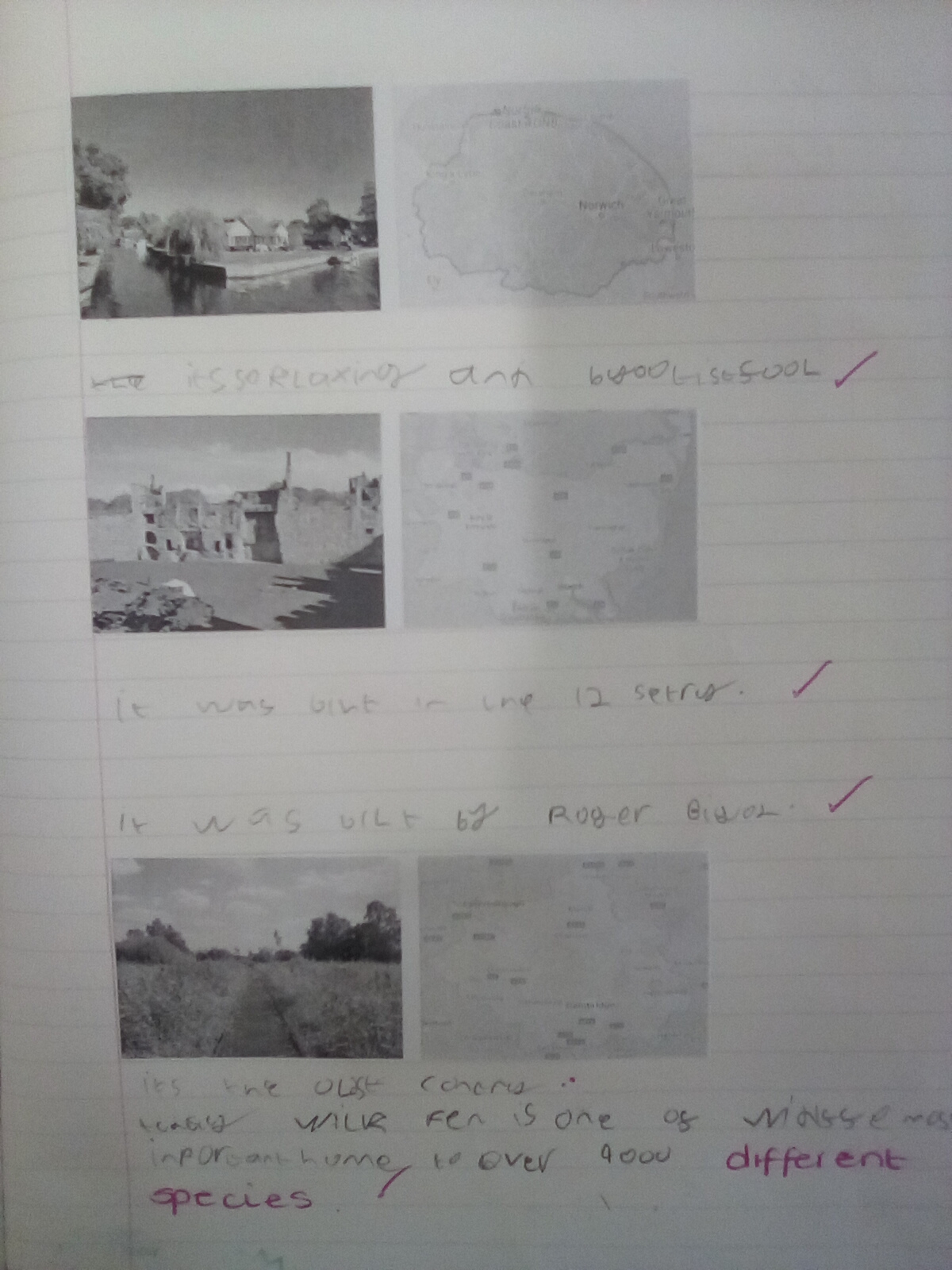
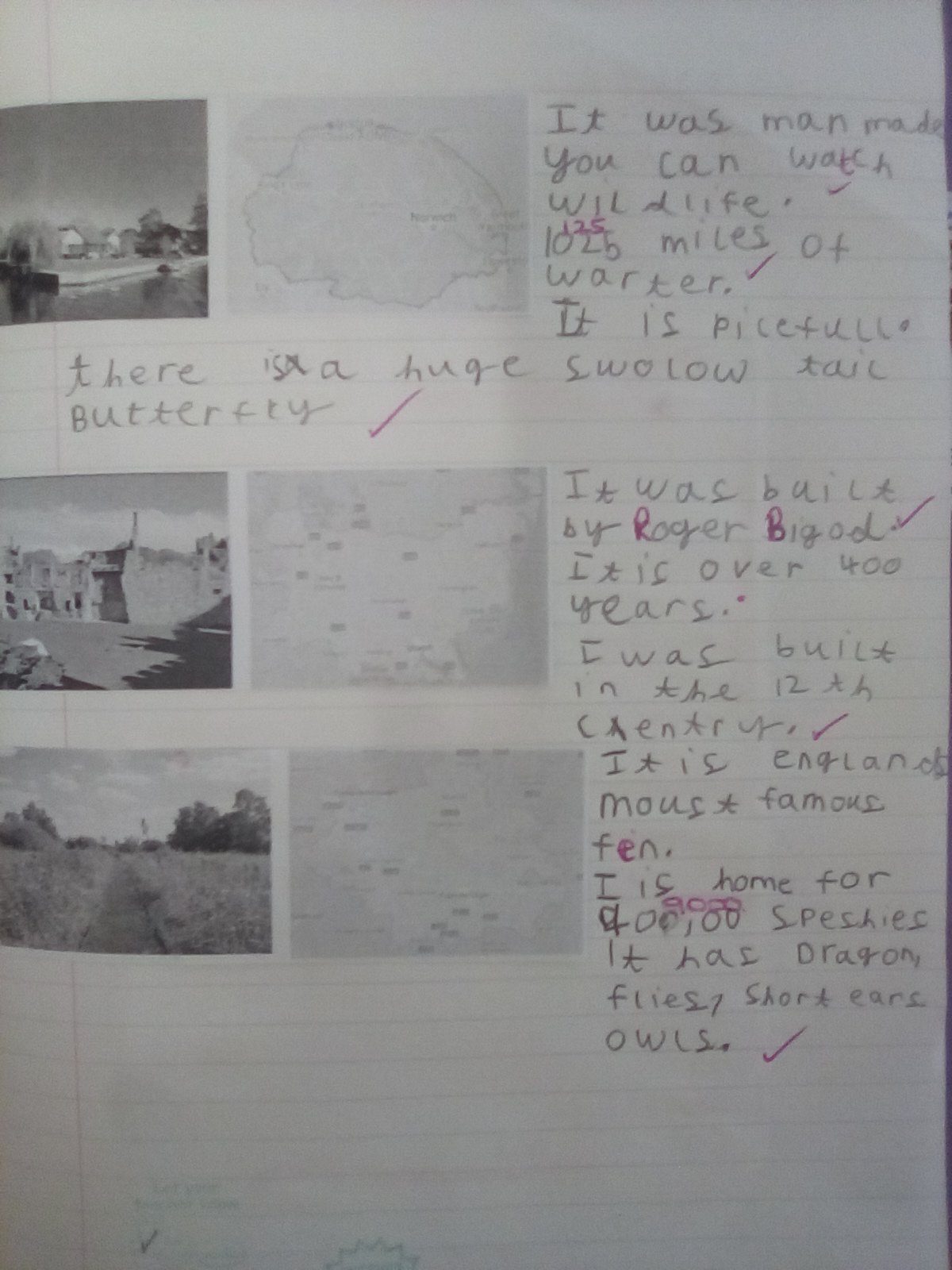
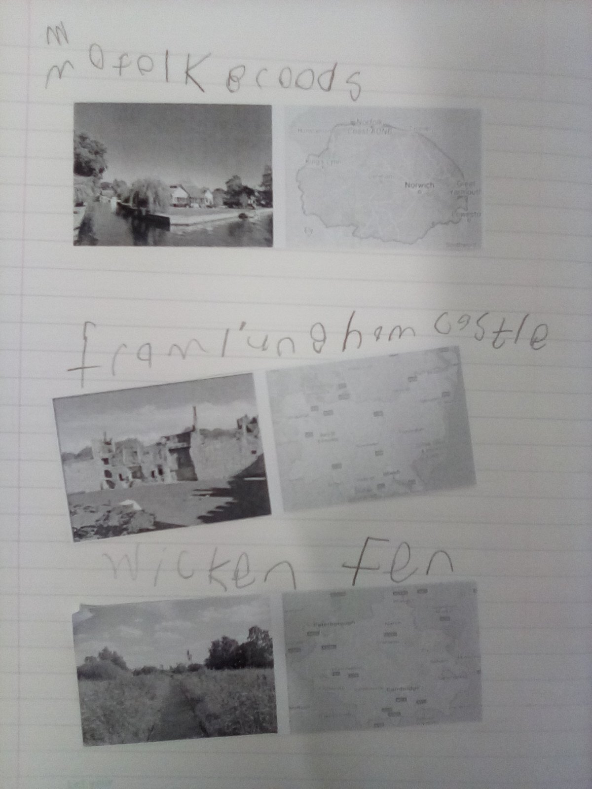
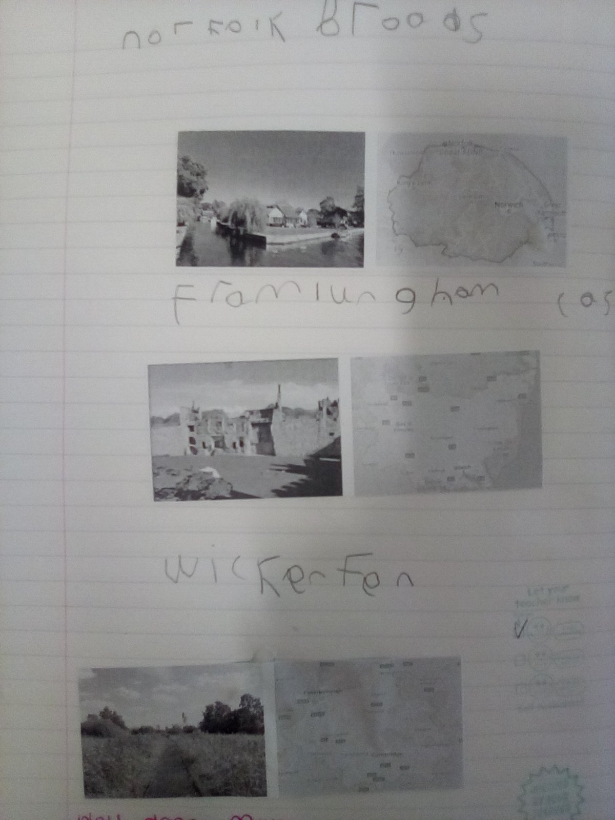
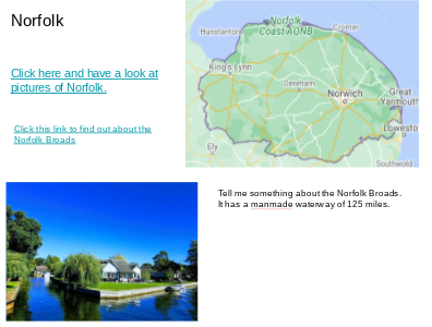
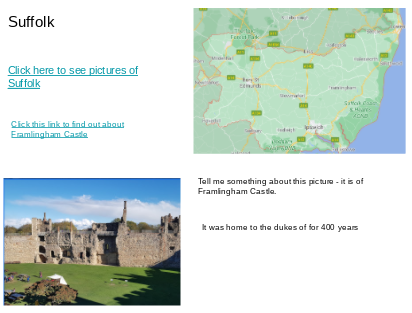
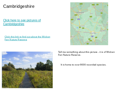
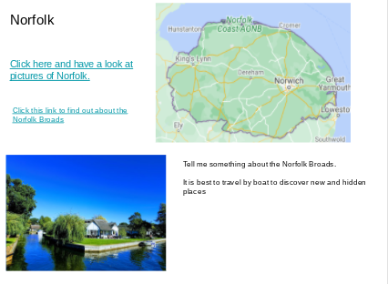
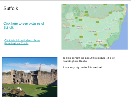
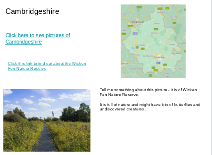
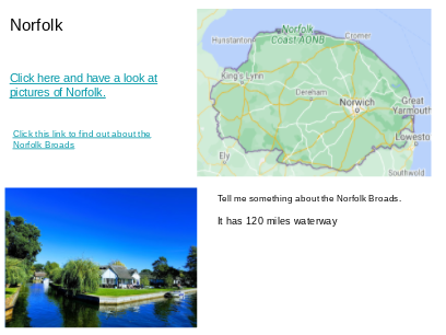
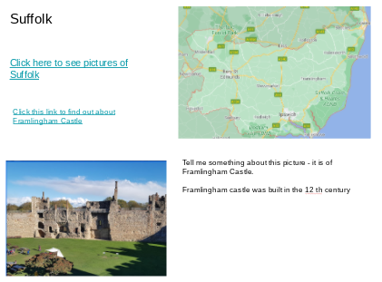
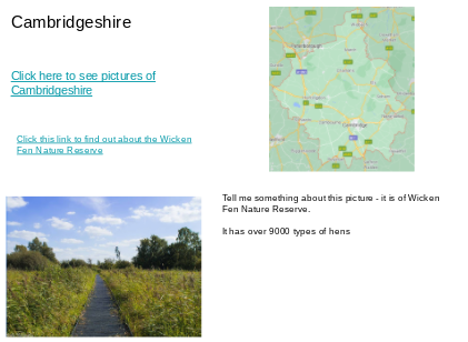
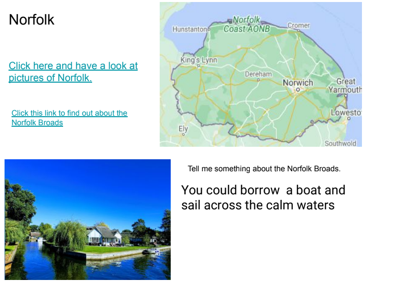
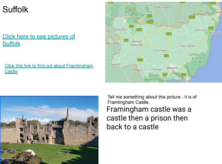
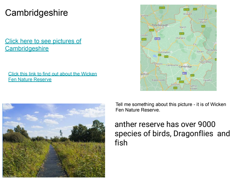
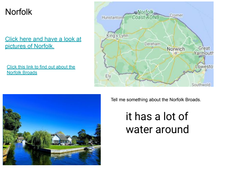
We then focused on East Anglia and looked at this contrasting region in detail. We learned it is made up of 3 counties and spent some time researching key landmarks in each region – The Norfolk Broads in Norfolk, Framlingham Castle in Suffolk and Wicken Fen Nature Reserve in Cambridgeshire.
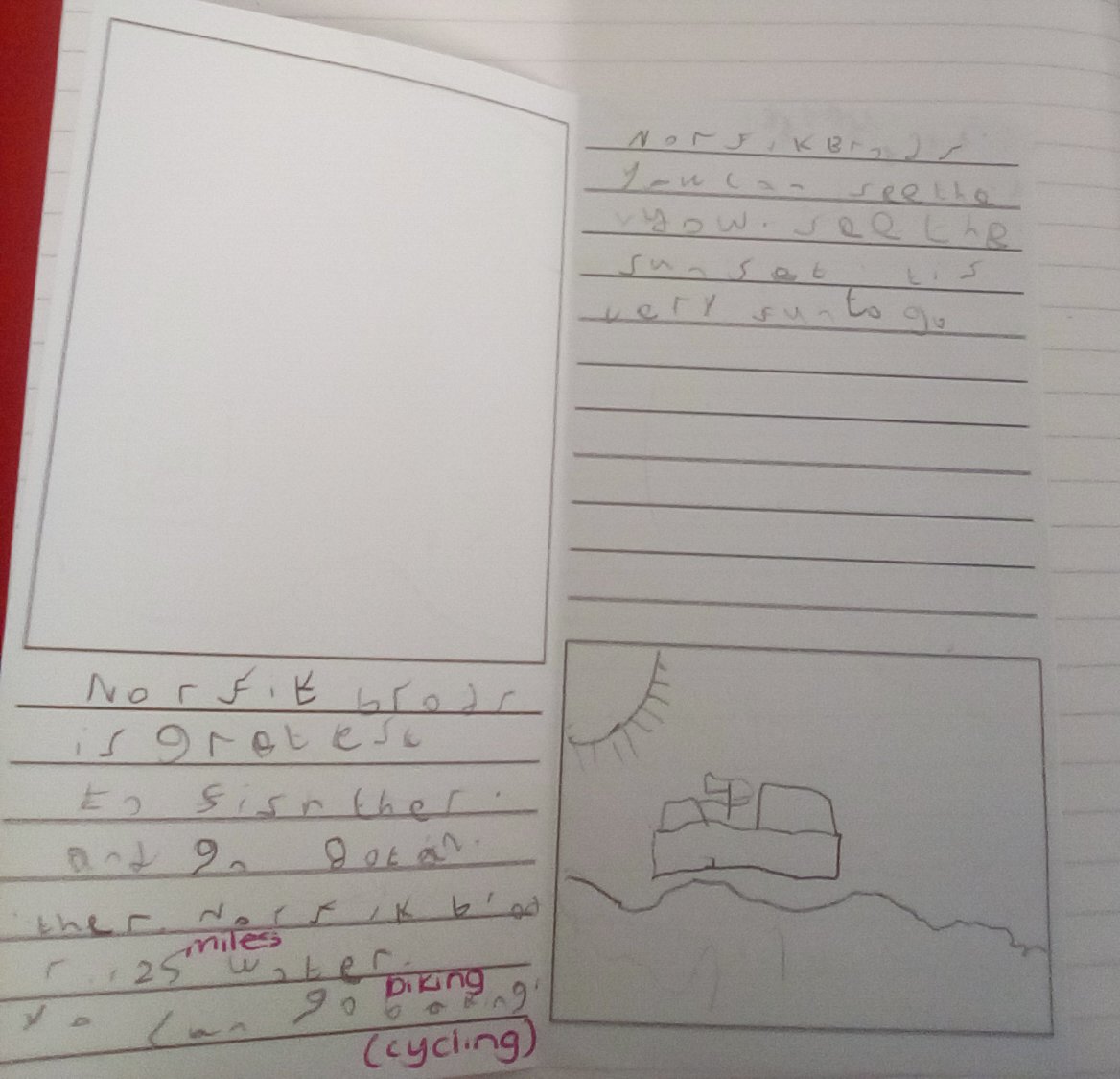
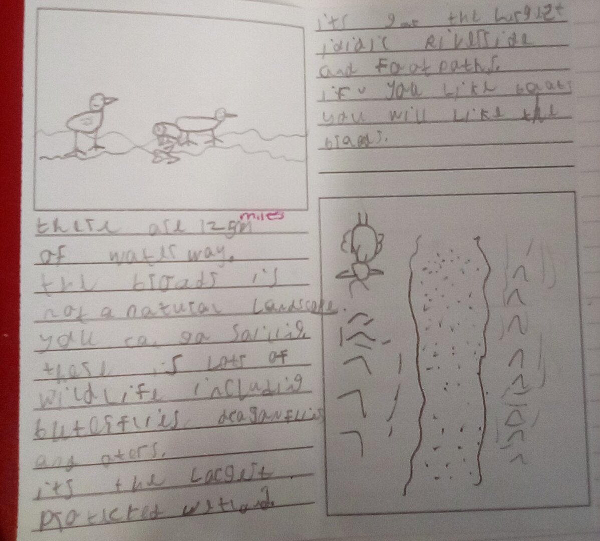
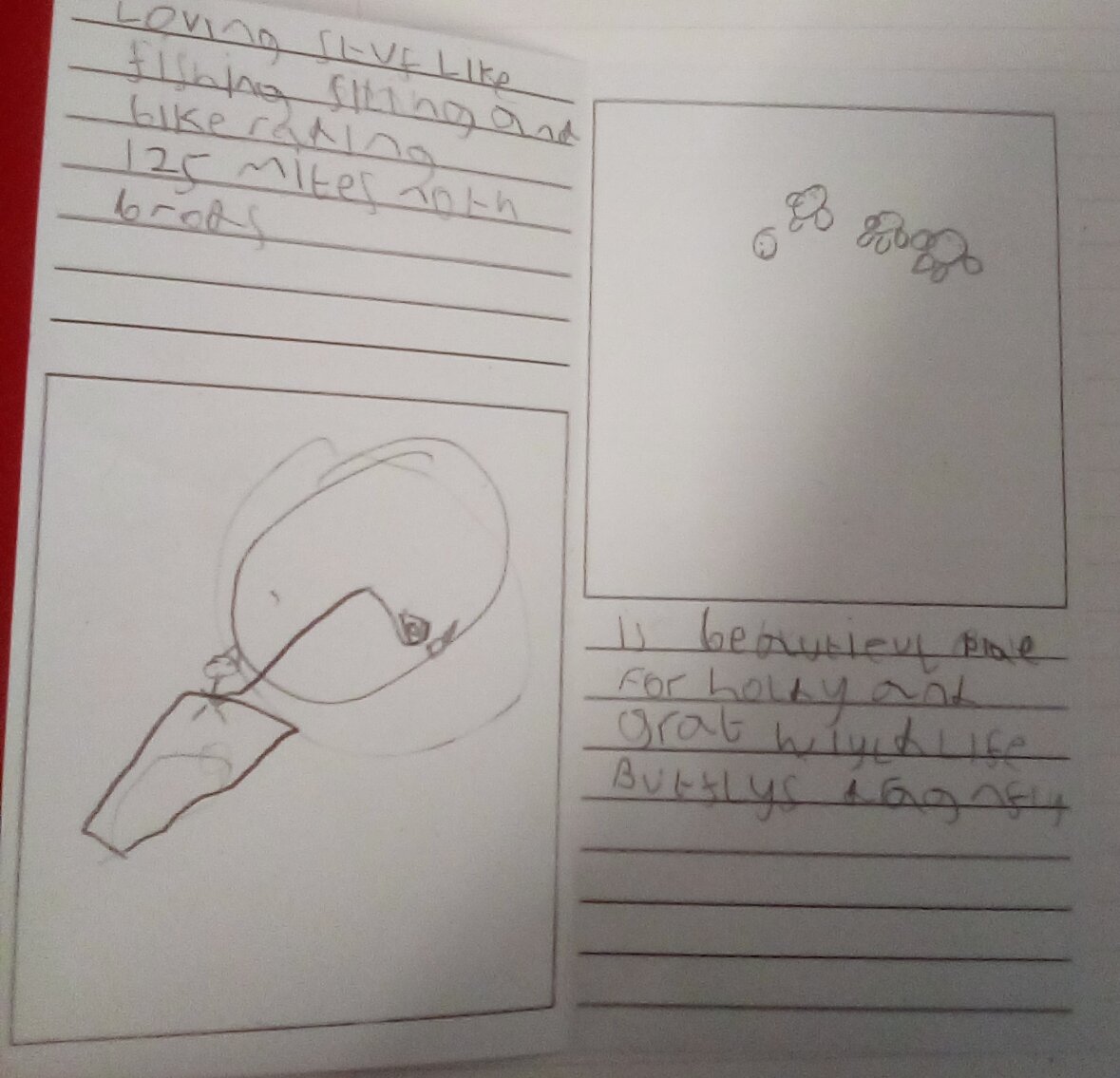
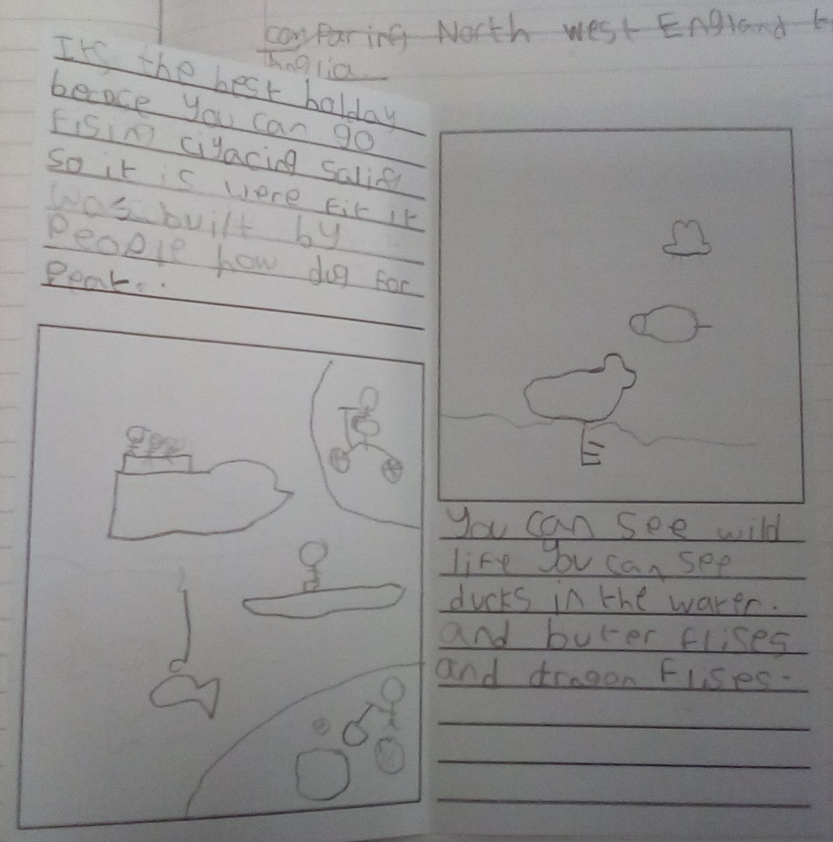
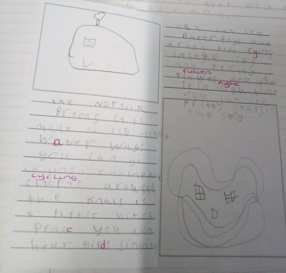
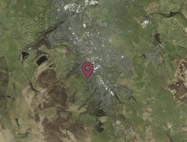
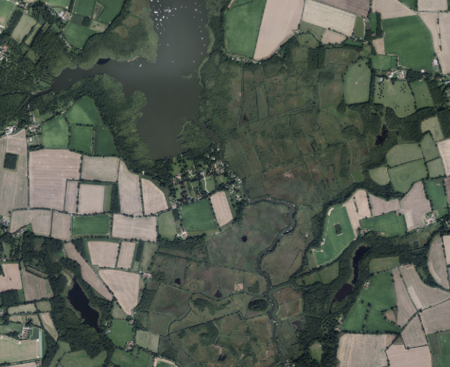
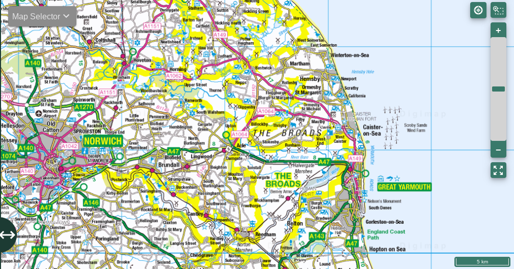
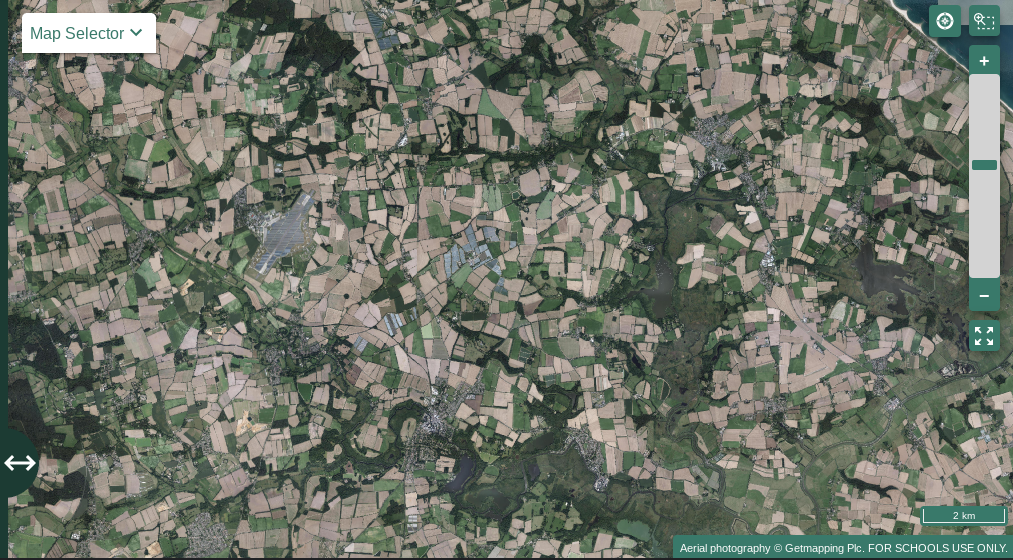
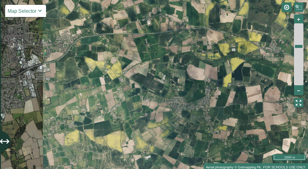
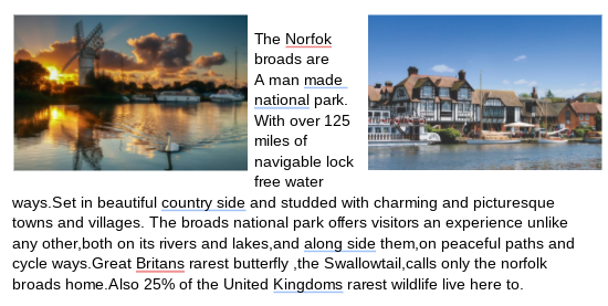
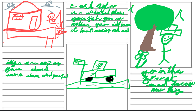
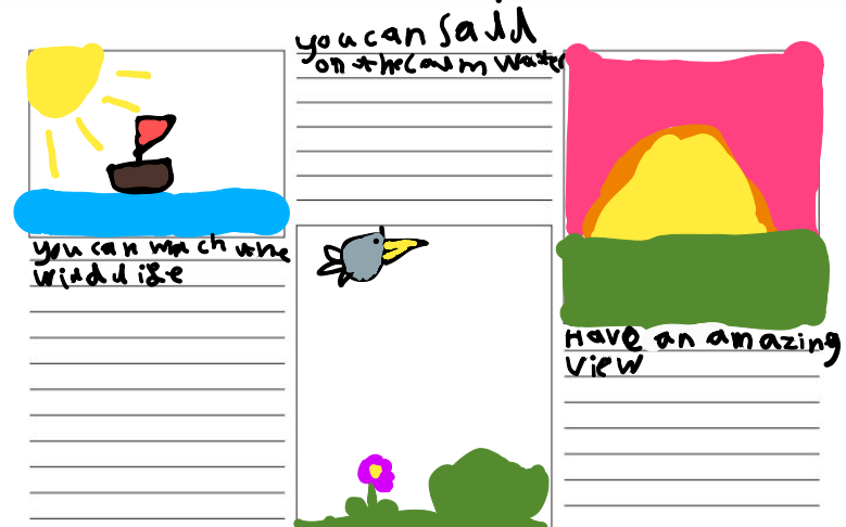
We finished this topic by comparing East Anglia to North West England. We looked at The Norfolk Broads and Darwen Moors and spent some time exploring the areas on Digimaps. We then researched the Norfolk Broads, looking at tourist information pages on the internet before making our own leaflet about the area.

.png)

