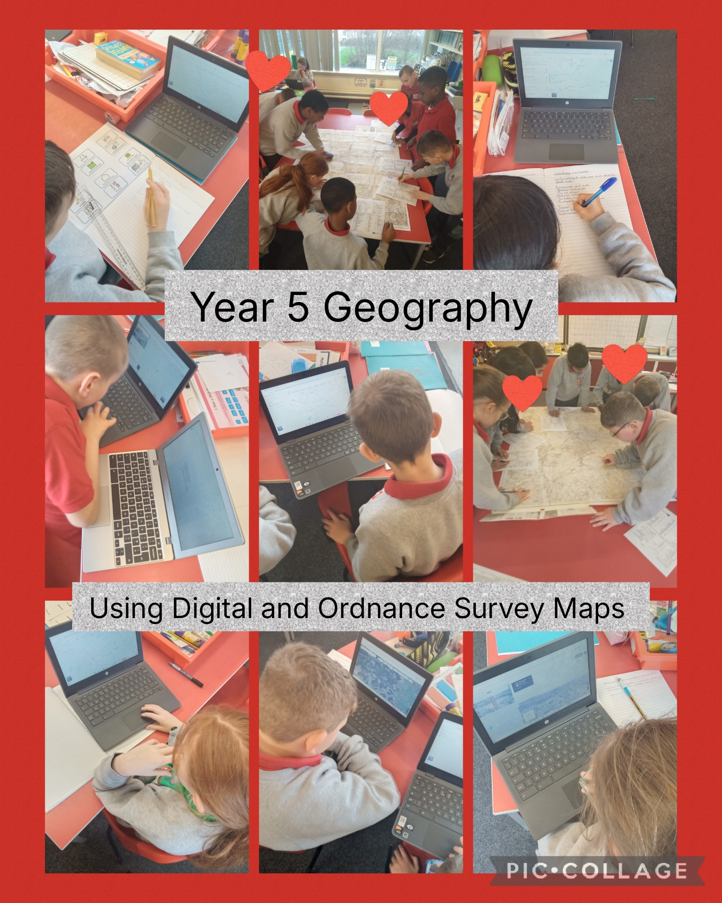

This week in Geography, Year 5 engaged in a detailed comparative study of our local area using both digital maps and Ordnance Survey (OS) maps. We began our search using Google Maps to identify key human features in our locality, compiling a comprehensive list of tourist spots, leisure facilities, restaurants, bars, transport hubs, and hotels. Students then transferred these analytical skills to the OS maps of Darwen, using the specific OS symbols key to locate and interpret a wide variety of different points of interest, finding the activity highly rewarding and a lot of fun!