.JPG)
Reception - Understanding the World - Understanding Arrows
Reception class discussed what the different arrows mean and their names (forwards, back, left and right). They then had to follow my instruction when I showed them an arrow, moving one step in that direction.
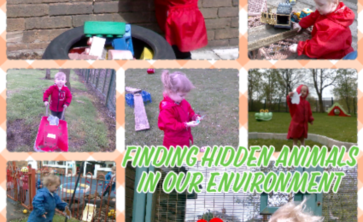
Nursery Class - Understanding the world - Finding Hidden Animals in our Environment.
Nursery class explored their outdoor environment to find some hidden animals. The children used their brilliant searching and looking skills to find all of the animals from our story and match them to our checklist. As the children found the animals they were encouraged to voice the animal sound, some children began to make movements like the animals they had found and could even remember where some of the animals would usually live.
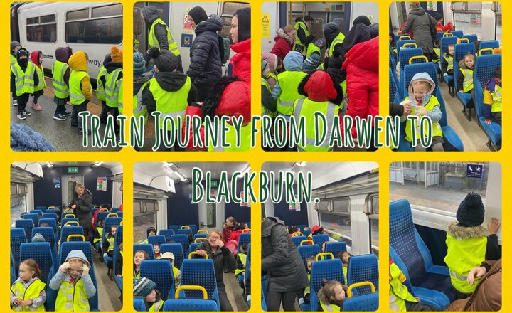
Reception - Train Journey
Reception class experienced a train journey today! We walked from school to Darwen Train Station and took the train to Blackburn as we were going to the cinema. The children were so excited and enjoyed talking about the different scenery they could see through the window.
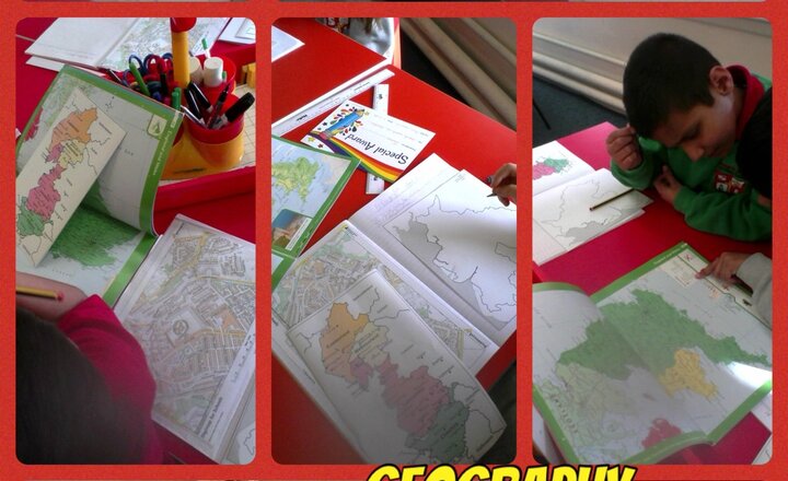
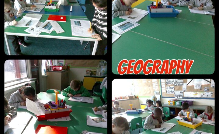
Year 3 Geography - Counties that make up England.
Today in Geography, year 3 have been learning about the counties that make up England. In particular they looked at Lancashire. They used google maps and an atlas to identify local towns. Taking this information they marked the towns, Blackpool, Preston, Darwen Blackburn and Burnley on a blank map.
Year 2 - Geography - Hong Kong
In Geography this week, we have been discovering the location of Hong Kong. We have written descriptions of Hong Kong using geographical vocabulary.
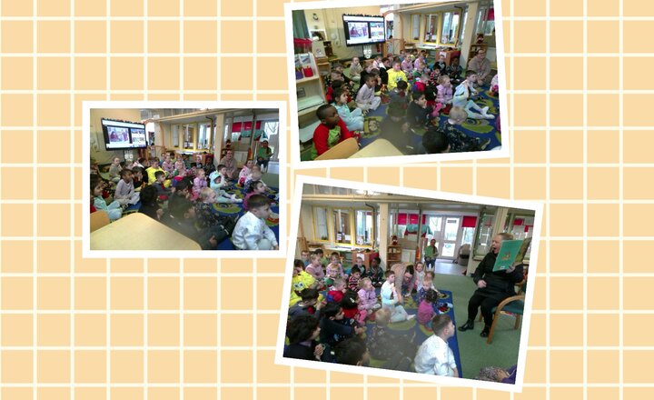
Year 3 - World Book Day
Today for World Book Day Year 3 read Handa's Chicken and learned about Africa. They looked at its different countries and also the different flags. They also enjoyed a visit to nursery, to listen to the story of The Gruffalo read by Miss Lawson.
.jpeg)
Reception Class - Our Local Area
This afternoon the children have continued to develop their geographical knowledge by exploring their homes and the local area on Google Maps. The children loved directing me to their houses and pointing out familiar landmarks.
Year 6 - English
Over the last two days in our English lesson we have been learning about Mount Everest. We have learned a lot of interesting facts and discussed what we need to take in our rucksack.
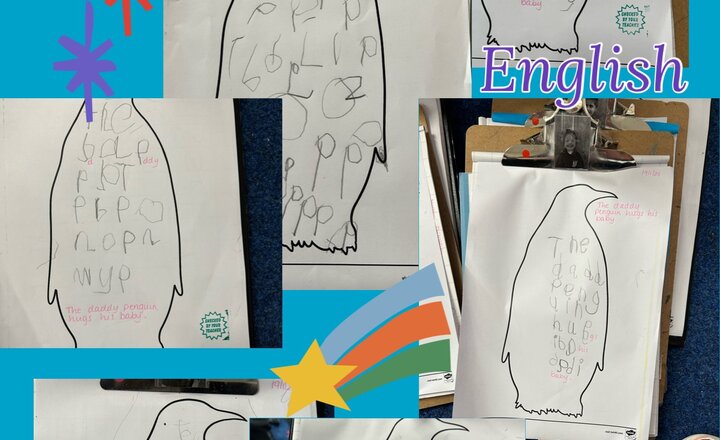
Reception Class - English - Writing about Penguins
Reception class have been learning all about penguins this half term. During our English lesson the children wrote the sentence ‘the daddy penguin hugs his baby.’ The children applied their phonetic knowledge, identifying tricky words and using their segmenting skills. Great effort everyone!
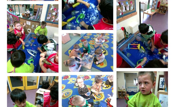
Pre School - North and South Pole
This week in Understanding the world, we learnt about the North and South pole and what we would find there. We discovered lots of ice and different animals to what we would see in Darwen. We put the polar bears and reindeer in the North pole and whales and penguins in the south pole. The children then explored ice and what happens to the ice when it starts to get warm.

Year 2 - Naming Continents
Year 2 had fun naming the continents this afternoon. When they caught the globe they had to name the continent it landed on.

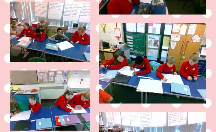
Year 6 Geography - Ordnance Survey Maps
On Friday afternoon, Year 6 began learning how to read Ordnance Survey maps. We are looking at 4-digit and 6-digit grid references, and the symbols used on the maps.
.png)